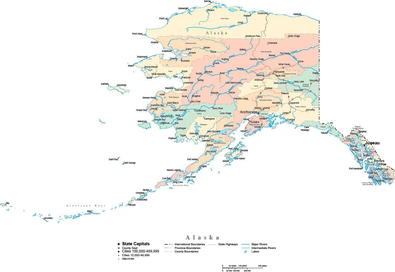
Alaska State Map - Multi-Color Cut-Out Style - with Counties, Cities, County Seats, Major Roads, Rivers and Lakes
$39.95
{{option.name}}:
{{selected_options[option.position]}}
{{value_obj.value}}
About This Alaska MapShows the entire state of Alaska, cut at the state border. Detail includes all county objects, major highways, rivers, lakes, and major city locations.In Illustrator format each county is a separate object you can select and change the color. All lines are fully editable and all text is fully editable font text (not outlines).Perfect for page size illustrations in proposals or reports.This map is also included in our Premier USA collection, including maps of the USA and all 50 states.If you need a map like this one showing a different area please contact our Custom Mapping Services.
Show More
Show Less