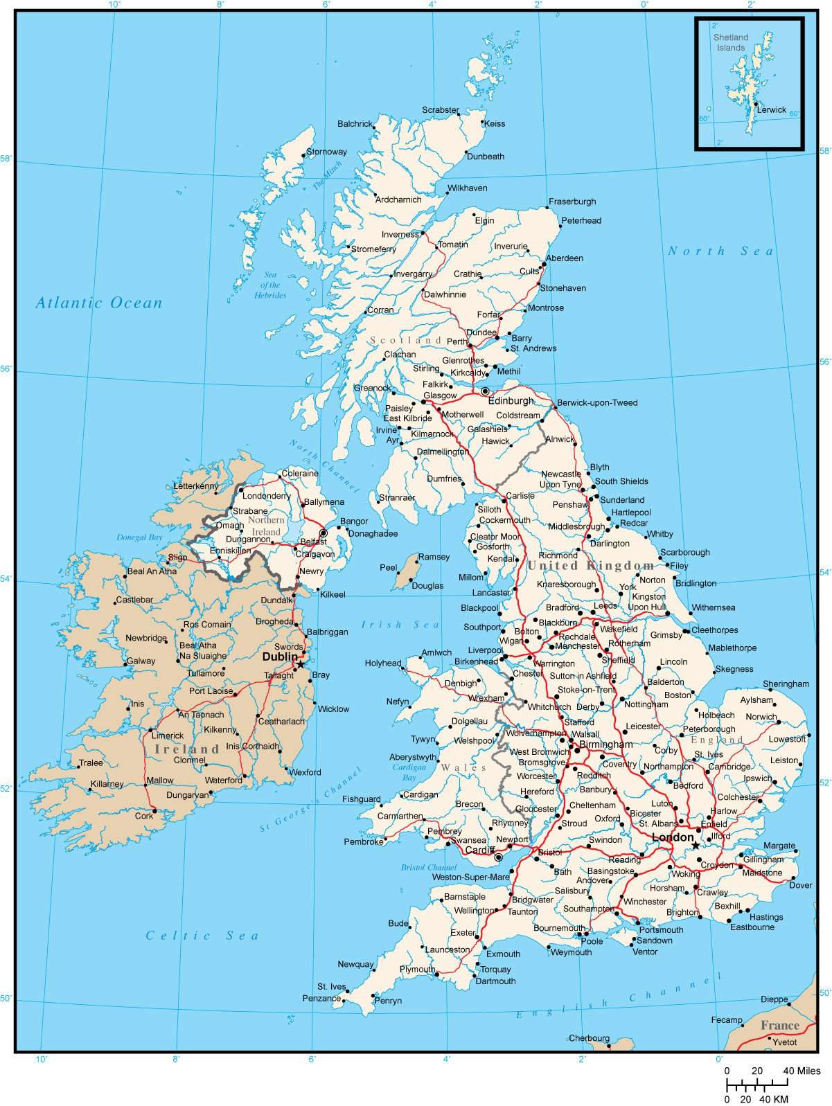
British Islands Map with Major Roads and Cities
$49.95
{{option.name}}:
{{selected_options[option.position]}}
{{value_obj.value}}
About This British IslandsMap with Major Roads and CitiesUK map including England, Scotland, Wales, Northern Ireland and Ireland with city locations and major roads.Use this map as-is, or customize it using the tools in Adobe Illustrator.Perfect for page size illustrations.If you need a map like this one showing a different area, please contact our Custom Mapping Services.
Show More
Show Less