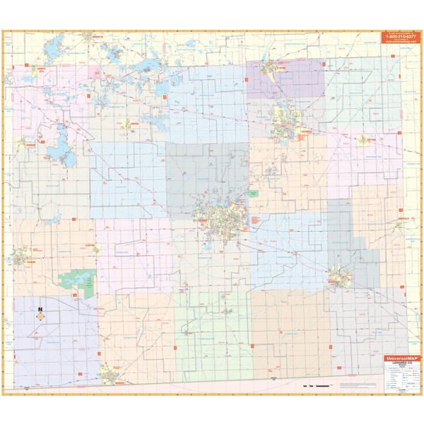
Adrian & Lenawee, MI Wall Map
The 1st edition, Wall Map of Adrian/Lenawee County, Michigan measures 67” W x 54” H (5'7" W x 4'6" H) and is in complete street detail at a scale of 1” = 2,913 feet. Provides up-to-date cartography with new streets and changes. Printed in color with a markable/washable-laminated surface. Streets are indexed in a separate book. Has hanging rails mounted top and bottom. Covers all of Lenawee County with the following boundaries: North: to the Jackson and Washtenaw County lines; South: to the Ohio State line; East: to the Monroe County line; West: to the Hillsdale County line. Details include all streets and highways, government buildings, airports, water features, fire/police stations, hospitals, shopping centers, educational facilities, railroads, recreational parks, golf/country clubs, post offices, city limits/annexations, cemeteries, range/township/section lines, mileage circles, ZIP codes/boundaries, and points of interest. Product #: 2391227 Dimensions: Width 60, Height